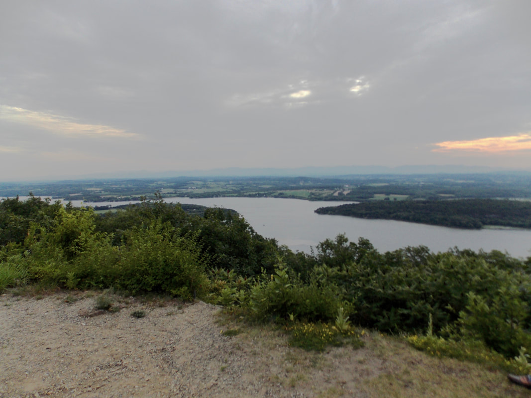
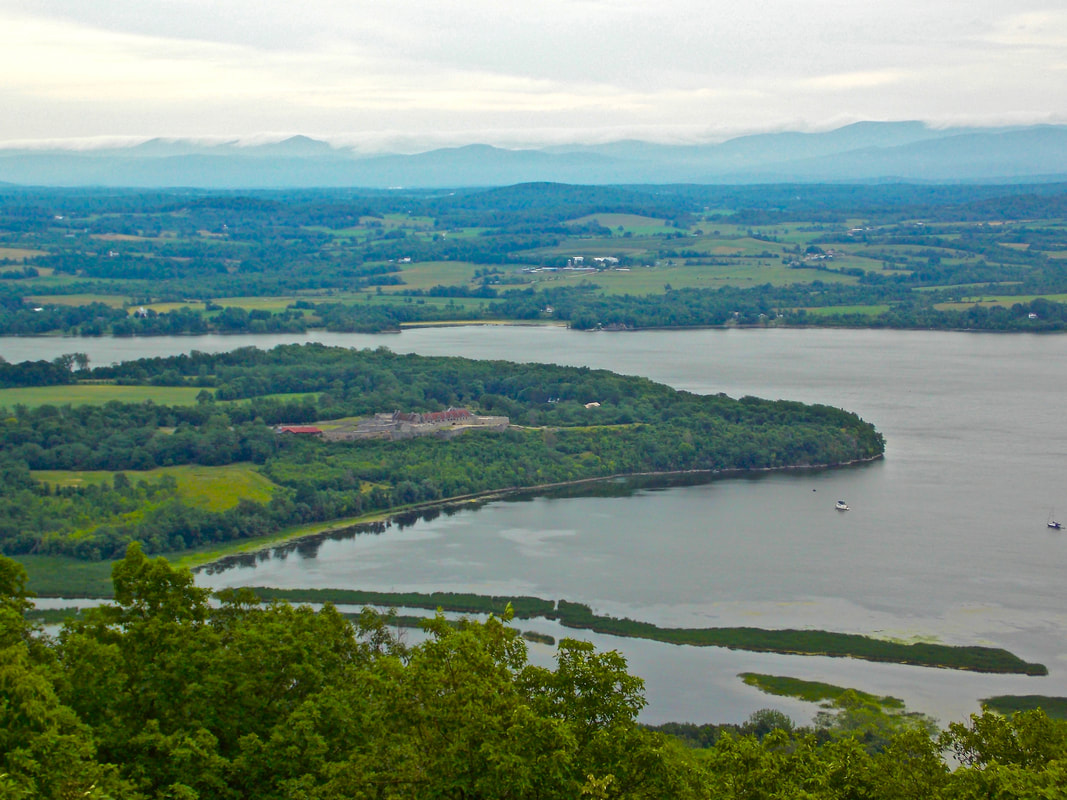
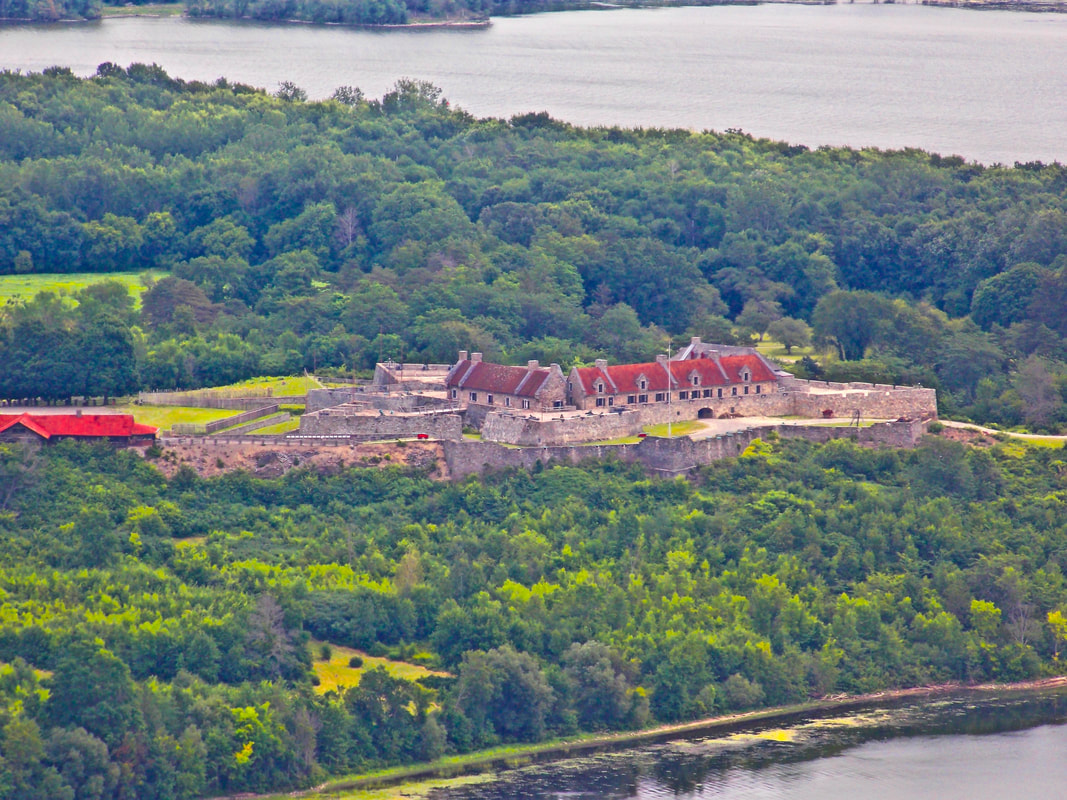
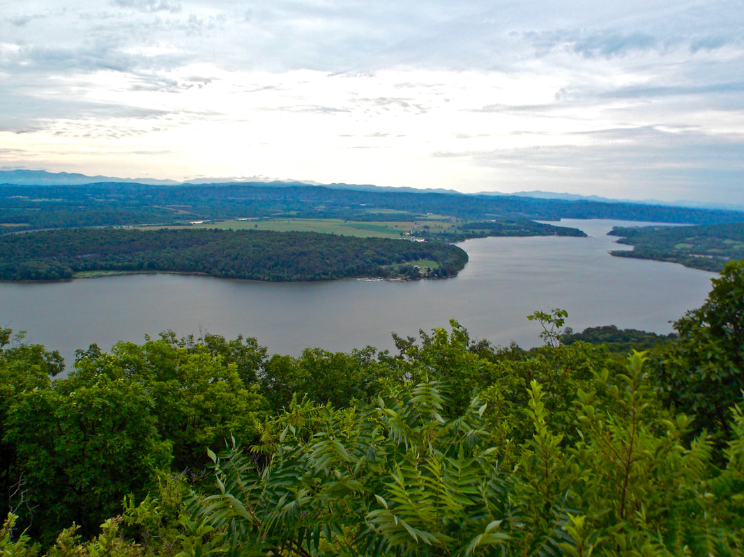
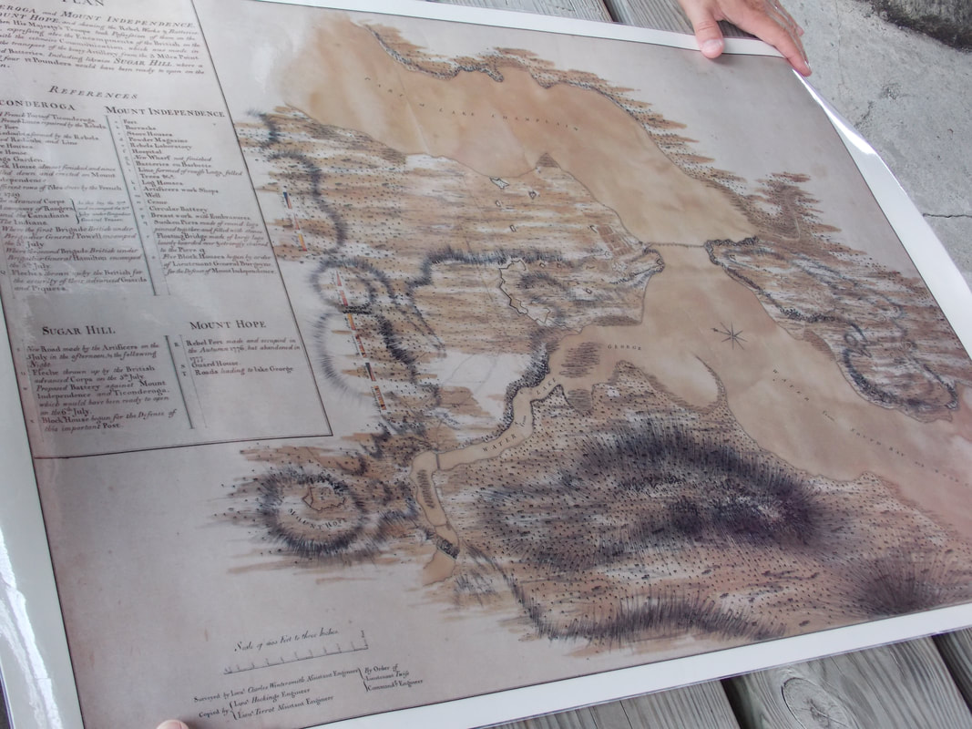
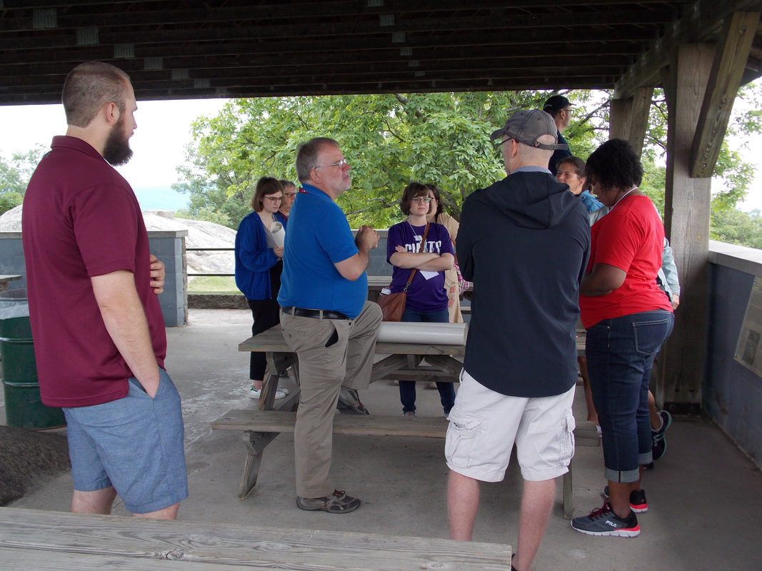
| | We traveled to the top of Mount Defiance for a bird's-eye view of the valley. It was very helpful to look down on Fort Ticonderoga, the La Chute River, and Lake Champlain. Our leaders unfurled a map to give participants a better "lay of the land" with a historic light. The morning was brisk and cool, especially atop the mountain. Our view helped us understand the events of July 8, 1758, when British troops attempted to take the fort from the French from the south. |
|
0 Comments
Your comment will be posted after it is approved.
Leave a Reply. |
AnthemThe Hoggatteer Revolution
is an extensive, award-winning, inimitable, digital platform for Encouraging and Developing the Arts, Sciences, and honest Christianity in the beautiful, friendly LAND OF THE FREE AND THE HOME OF THE BRAVE This site is described as
"a fantastic site... chockablock full of interesting ideas, hilarious anecdotes, and useful resources." 

...to like, bookmark, pin,
tweet, and share about the site... and check in regularly for new material, posted often before DAWN'S EARLY LIGHT! 
History in ResidenceElementary Schools: Bring Mr. Hoggatt into your classroom for a week of engaging and rigorous history programming with your students. LEARN MORE BUILDING BETTER
|