 | As we continue our talks of George Washington's survey skills as a young man - before he would ever become the commander-in-chief, the general, or the first president of the United States - we must remember that he had a childhood. In those early days, George took to measuring and mapping land in the Ohio River Valley. According to Mount Vernon's webpage about the subject, "At one time Washington owned nearly 70,000 acres between the Potomac and Ohio Rivers." With that, might we infer that he must have known the land pretty well? Having spent so much time in the valley, couldn't we assume that he knew where the best and most desirable plots of land were located? Would he have also concerned himself with the quality of the soil and the minerals in the area? |
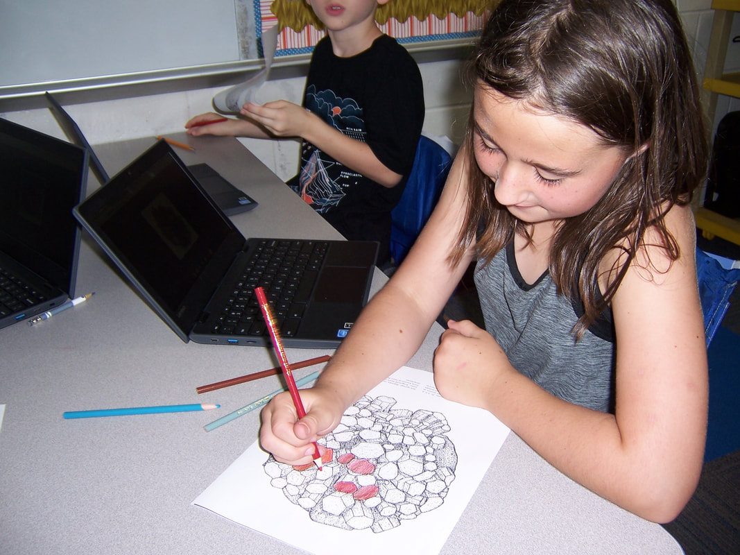
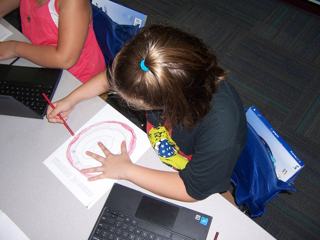
We may find ourselves amazed that the father of our country was quite the farmer and scientist. That's how this became our jumping off point for a short science unit about rocks and minerals. We will get to manipulate the real things, next week, but in the interim, Hoggatteers got to make some flat observations using only the colors and designs found in some images on the page and on the interweb.